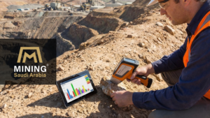
Remote Sensing Technologies are becoming a fundamental tool in modern mineral exploration, especially in regions with vast and complex geological terrains such as Saudi Arabia. By using satellite imagery, spectral analysis, and radar systems, geologists can study large areas of the Earth’s surface and identify potential mineral targets with greater efficiency. In the context of Saudi Arabia’s expanding mining sector and the goals of Vision 2030, remote sensing systems play a crucial role in accelerating exploration, improving geological understanding, and supporting data-driven decision-making across the Arabian Shield.
How is Remote Sensing Reshaping the Saudi Mining Landscape?
As Saudi Arabia accelerates toward achieving Vision 2030, the mining sector is emerging as the “third pillar” of national industry and a fundamental driver of economic diversification. Given the vast, rugged expanses of the Arabian Shield, traditional field surveys alone can no longer match the Kingdom’s high-speed ambitions.
Remote sensing has stepped in as a strategic tool, a “digital eye” that cuts time and costs by revealing hidden geological formations. This technology places the Kingdom at the forefront of global smart mining practices by transforming how we visualize the Earth’s crust.
What is the Role of Satellite Data in Initial Mineral Exploration?
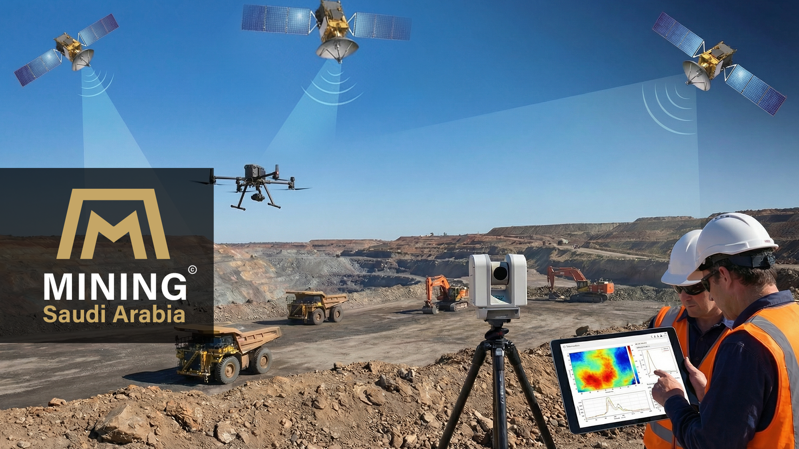
The power of satellites lies in their ability to analyze electromagnetic spectra reflected from the Earth’s surface, reaching far beyond the limits of human vision. By utilizing advanced sensors such as ASTER, Sentinel-2, and Landsat 8/9, geologists can achieve several key exploration capabilities:
- Detect Spectral Signatures
Identify specific rock types and minerals from space based on their unique light-reflective properties. - SWIR & VNIR Analysis
Distinguish between clay minerals, carbonates, and oxides—important pathfinder minerals that often indicate the presence of gold and copper deposits. - Map Alteration Zones
Locate areas affected by hydrothermal reactions, which are among the most important geological indicators of large mineral deposits.
How are promising “greenfield” targets identified with precision using remote sensing technologies?
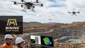
Advanced satellite imagery processing through Remote Sensing Systems helps narrow exploration areas from thousands of square kilometers to specific high-probability targets. By analyzing large datasets collected from space, geologists can identify the most promising mineral zones before field exploration begins.
- Structural Analysis
Using remote sensing technologies to map faults, fractures, and folds that historically acted as pathways for mineral-bearing fluids deep within the Earth. - Data Integration (GIS)
Integrating satellite data derived from remote sensing technologies with aeromagnetic geophysical datasets through Geographic Information Systems (GIS) helps geologists build a more accurate three-dimensional probability model of potential mineral deposits. - Smart Prioritization
Applying insights from remote sensing technologies to direct field teams toward the most promising targets, significantly reducing exploration costs and avoiding inefficient, random drilling programs.
Why is Radar (SAR) Technology Critical for Desert Environments?
In desert regions such as those found across Saudi Arabia, remote sensing systems play a critical role in overcoming environmental challenges. In areas covered by shifting dunes or extreme topography, Synthetic Aperture Radar (SAR) provides capabilities that standard optical satellite imagery cannot offer.
- Sub-surface Penetration
SAR can partially penetrate thin layers of dry sand, helping geologists detect buried geological structures that may indicate potential mineralization. - All-Weather Reliability
Unlike optical sensors, SAR operates independently of sunlight and is not affected by sandstorms, clouds, or darkness, allowing continuous data collection in harsh desert environments. - High-Resolution DEMs
SAR data can be used to generate detailed Digital Elevation Models (DEMs), which are essential for planning mine infrastructure, access routes, and engineering logistics.
Saudi Arabia as a Global Model for Digital Geology
Saudi Arabia has emerged as one of the leading global examples of how digital technologies can transform geological exploration. The Kingdom hosts one of the world’s most comprehensive national geological databases, providing researchers and investors with high-quality geological and geospatial data. By integrating remote sensing technologies into the study of the Arabian Shield, Saudi Arabia has significantly improved the efficiency, transparency, and sustainability of mineral exploration.
This integration creates several strategic advantages for the mining sector:
- Investor Confidence
Access to reliable, high-quality digital geological data reduces uncertainty and enables global mining companies to evaluate exploration opportunities with greater confidence. - De-risking Exploration
Remote sensing data provides strong scientific indicators before costly drilling programs begin, helping companies justify investment decisions during the capital-intensive stages of exploration and extraction. - Environmental Sustainability
Early reconnaissance conducted through satellite analysis reduces the need for extensive ground surveys, lowering environmental disturbance and minimizing the carbon footprint of exploration activities.
Remote Sensing as a Strategic Decision-Making Engine
In the Saudi mining sector, remote sensing is a primary driver of digital transformation. The ability to analyze large volumes of satellite data allows geologists and decision-makers to accelerate exploration cycles, improve the accuracy of investment decisions, and better manage the Kingdom’s natural resources. By leveraging advanced data from space, Saudi Arabia is strengthening its capacity to identify and develop mineral resources while supporting a more efficient and sustainable mining industry.
Read Also: Saudi Mining Sector: Why Global Mining Giants Are Investing in the Kingdom