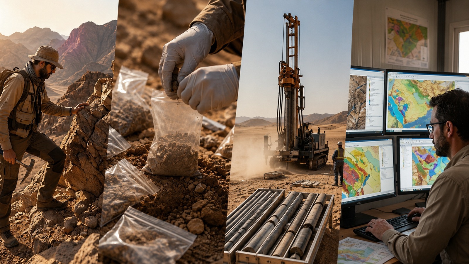
This creates a more comprehensive understanding of the potential mineral system and provides a stronger basis for target generation and exploration decision-making.
- Turning Separate Datasets into an Integrated Geological Model
In traditional exploration programs, geological maps, geochemical data, geophysical datasets, and satellite imagery may be treated as separate sources of information.
However, mineral deposits are rarely controlled by a single factor. They form through the interaction of multiple geological, structural, geochemical, hydrothermal, and physical processes.
Therefore, the key question in modern mineral exploration is not simply:
- Are there geochemical anomalies?
or:
- Are there geophysical anomalies?
The more important question is:
- Do multiple independent geological indicators coincide spatially, and do they support the geological model of the targeted mineralization system?
For example, an area may contain elevated gold concentrations or elevated Pathfinder Elements. However, if the anomaly occurs within an unfavorable lithological setting and has no meaningful structural association, its exploration priority may remain relatively low.
In contrast, if the geochemical anomaly coincides with a favorable fault or shear zone, remote sensing indicates hydrothermal alteration, and geophysical data show a response consistent with the geological model, the exploration significance of the target increases substantially.
This is where the real value of data integration becomes evident.
- Increasing the Accuracy of Mineral Anomaly Detection
The term “anomaly” does not necessarily mean that an economic mineral deposit exists.
An anomaly may result from natural lithological variations, weathering processes, surface geochemical dispersion, or changes in the physical properties of rocks.
Therefore, relying on a single indicator can result in a large number of low-quality targets or false positives.
By integrating multiple datasets, exploration teams can reduce these false positives by identifying coincident anomaly areas where several independent anomalies overlap and are consistent with the geological exploration model.
For example:
Geochemical Anomaly + Structural Control + Spectral Alteration + Geophysical Response
may provide a significantly stronger exploration indication than any individual anomaly alone.
This does not prove that the area contains an economically viable mineral deposit. Rather, it indicates that the area has become a higher-priority exploration target that deserves field verification and further investigation.
- Linking Surface Data with Subsurface Information
One of the major challenges in mineral exploration is that much of the geological evidence may be hidden beneath the Earth’s surface.
Satellite imagery, for example, provides valuable information about surface geology and can help identify lithological variations, lineaments, and alteration-related spectral responses. However, it cannot directly detect mineralization at depth.
In contrast, certain geophysical techniques can provide information about subsurface physical properties and geological structures.
When these datasets are integrated, exploration teams can move beyond the question:
- What is visible at the surface?
toward a more important question:
- What geological process may be continuing beneath the surface?
This is where GIS becomes more than a mapping platform. It provides a framework for connecting surface observations with geophysical interpretations and geological models.
- Improving Drill Target Selection
Drilling is one of the most expensive stages of mineral exploration. Therefore, selecting the right drill location is both a technical and economic decision.
Drilling an area that has not been adequately evaluated may result in a negative hole that does not necessarily indicate the absence of mineralization. It may simply reflect poor target positioning.
Through data integration, exploration targets can be ranked according to their level of agreement with the Exploration Model.
For example, priority may be given to an area characterized by:
- – Lithological Favorability.
- – Structural Favorability.
- – Geochemical Anomaly.
- – Hydrothermal Alteration.
- – Geophysical Response.
- – Proximity to Known Mineralization.
This approach ensures that drill targeting is not based on a single anomaly but rather on a spatially integrated set of geological and exploration indicators.
- Reducing the Search Area and Unnecessary Fieldwork
In large-scale exploration projects, the area of interest may cover hundreds or even thousands of square kilometers. It is rarely practical to investigate the entire area with the same level of field intensity.
This is where GIS and remote sensing provide a major strategic advantage.
Available datasets can be used to classify an exploration area into different levels of priority:
Regional Scale → District Scale → Prospect Scale → Drill Target
Instead of conducting intensive geochemical or geophysical programs across the entire project area, exploration resources can be progressively directed toward areas showing the highest mineral prospectivity.
This can reduce the time required to identify viable targets and lower the exploration cost associated with evaluating each target.
- Improving the Geological Exploration Model
Data integration is not only about finding anomalies. It can also help develop and refine the conceptual geological model.
An exploration team may begin with a hypothesis regarding the type of mineralization, the source of hydrothermal fluids, their pathways, and the structural controls responsible for mineral deposition.
This hypothesis can then be tested by comparing:
Geology + Structure + Geochemistry + Geophysics + Remote Sensing
If multiple datasets support the same geological interpretation, confidence in the model increases.
If the datasets produce conflicting results, this may indicate that the geological model needs to be modified or that some of the available data require reinterpretation.
Therefore, mineral exploration becomes an iterative process, where every stage of data acquisition and analysis contributes to improving the next stage of exploration.
- Identifying Spatial Relationships That Are Difficult to Detect Visually
As the volume of exploration data increases, it becomes increasingly difficult for geologists to identify all spatial relationships through conventional maps alone.
This is where spatial analysis tools within GIS become particularly valuable.
These tools can be used to investigate:
- – The distance between geochemical anomalies and geological structures.
- – Lineament orientations.
- – The spatial density of known mineral occurrences.
- – The overlap between alteration zones and geochemical anomalies.
- – Relationships between topography and geological distribution.
- – Spatial patterns of geochemical elements.
- – Areas where multiple exploration indicators coincide.
Such analyses can reveal patterns that may not be obvious when each dataset is examined independently.
- Moving from Anomaly Mapping to Prospectivity Mapping
One of the most important developments resulting from data integration is the transition from simply mapping anomalies to generating Mmineral prospectivity maps.
Instead of simply stating:
- “This area contains a geochemical anomaly.”
A spatial model can address a much more important question:
- “Which areas show the greatest degree of agreement among multiple exploration indicators and the geological model of the targeted mineralization?”
This distinction is fundamental.
An anomaly map shows where a measurable variation or anomaly occurs, while a prospectivity map evaluates how well an area matches a defined set of exploration criteria.
These models can be developed using approaches such as
Weighted Overlay, Fuzzy Logic, and Multi-Criteria Decision Analysis (MCDA)
or through more advanced machine learning techniques when reliable training datasets are available.
- Reducing Geological and Investment Risk
Mineral exploration is inherently a high-risk activity. Even after significant investment in geological surveys, geochemistry, geophysics, and drilling, an economically viable mineral resource may not be discovered.
Data integration cannot eliminate exploration risk. However, it can reduce geological uncertainty by improving the quality and consistency of the information used to make exploration decisions.
This is important not only for geologists but also for management and investors.
When exploration priorities are supported by multiple independent datasets, it becomes easier to justify why a particular area has been selected for a geochemical survey, geophysical program, trenching, or drilling.
It also allows exploration teams to compare targets using a more structured and objective framework.
The Real Value Is Not in the Amount of Data, but in the Relationships Between the Data
It is easy to assume that the future of exploration depends on collecting as much data as possible.
In reality, this is not necessarily the case.
An exploration company may possess thousands of geochemical samples, extensive magnetic data, high-resolution satellite imagery, and multiple geological maps, yet still fail to generate meaningful exploration targets if these datasets are not integrated within a sound Geological Framework.
Therefore, the real value lies not simply in the volume of data, but in the ability to answer three fundamental questions:
- Where are the indicators located?
- How are they spatially related?
- Do these relationships support a logical geological model for mineralization?
When these questions are addressed using GIS, remote sensing, geochemistry, and geophysics, data can be transformed from separate maps and files into exploration intelligence that can directly support exploration decision-making.
Data Integration as a Pre-Field Exploration Stage
The use of spatial analysis and remote sensing does not mean that fieldwork has become unnecessary.
On the contrary, field verification remains an essential step for testing and validating the results of desktop exploration models.
The difference is that the geological team does not begin fieldwork from “zero.”
Instead, field teams begin with a defined set of geological hypotheses and prioritized targets generated from the available datasets.
This makes fieldwork more focused and allows exploration teams to verify:
- – The accuracy of the geological interpretation.
- – The nature of rocks and alteration zones.
- – The source and significance of geochemical anomalies.
- – The validity of remote sensing indicators.
- – The nature and orientation of geological structures.
- – The relationship between anomalies and mineralization.
The results of fieldwork can then be incorporated back into the exploration database, allowing the geological model to be updated.
This creates an integrated exploration cycle:
Data Collection → Data Integration → Spatial Analysis → Target Generation → Field Verification → Model Refinement → Drilling
This cycle represents one of the defining characteristics of modern mineral exploration.
From Data to Decisions: The Future of Mineral Exploration
Read Aldo: Mining Investment Opportunities in Saudi Arabia: A Guide to the 2026–2027 Bidding Rounds